Analytics Made Easy
Act with confidence knowing your decisions are backed by in-depth data. Data is transformed into clear dashboards, graphs, and charts so you always know exactly what you're dealing with.
-
Eliminate Data Anomalies
Ensure accurate reporting, clean audit trails, and smarter budgeting and planning.
-
Stay Updated in Real-Time
Empower your field crews with instant access to schedules, work orders, and asset information.
-
Work Offline for Team Mobility
View previous data with an offline mode so you can access vital information at all times.
-
Plan with a Bird's Eye View
Merge multiple data sources for a holistic view of asset performance.
What You Can Do with Reporting and Analytics


Features to Back You Up
Use analytics as a springboard for success. Univerus Assets is here with features designed to ensure you make the most of your data.
-
Seamless Integrations
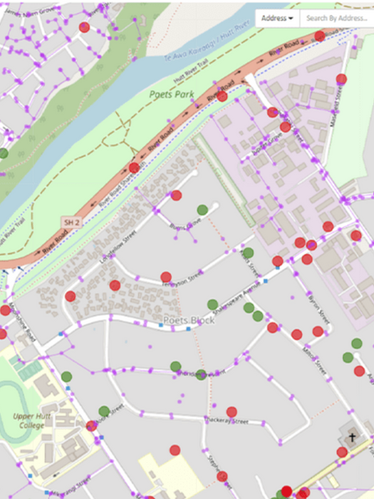
We provide out-of-the-box GIS interfaces for ArcGIS, Mapinfo, and QGIS, and we also integrate with webGIS systems for an organisation-wide view of information.
-
Easy Data Synchronisation
With entire network visibility, expose vital trends, patterns and spatial correlations in just one click.
-
Clear, Intuitive Interfaces
View all data through easy-to-navigate interfaces that keep your workflow efficient and stress-free.
From Data to Decisions.
Univerus Assets is built for local governments, municipalities, and utilities that need to manage complex infrastructure — from roads and parks to underground water systems. It’s designed to give decision-makers, planners, and field crews the tools and data they need to maintain safe, reliable public assets while staying on budget and building trust with the community.


Our Clients

.png)


